Walks in the Churnet Valley
Footpaths, bridleways, long distance walks and self-guided walks
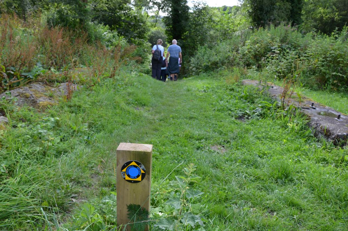
There is a rich network of public rights of way that enable you to explore the hidden treasures of the Churnet Valley.
If you want to find details of footpath trails or long distance walks (look under Staffordshire Moorlands):
http://www.staffordshire.gov.uk/environment/eLand/RightsofWay/PromotedRo...
Downloads that used to be available, but we can't currently find them online. If you do manage to find the links on the Staffordshire County Council website, please let us know and we will reinstate them.
Staffordshire Way (2.85MB)
Churnet Country (4 miles)
Caldon Connections (4 miles)
Furnace Forest (Dimmingsdale) (4 miles)
Leek & Caldon Canal (via Ladderedge, 3 miles)
Leek Landscapes (9 miles)
Leek to Peak (Tittesworth, 7 miles)
Moors Edge (Ipstones, 6.5 miles)
Rudyard Lake (5 miles)
Styles in Stone (Cheddleton, 6 miles)
Woods & Ways (Oakamoor, 3 miles, steep in places)
|
Self-guided walks in the Churnet Valley
Please note that there are no shops or other facilities in parts of the valley and mobile phone coverage is quite limited other than on higher ground, so you are advised to plan your day out well ahead.
Help us add more walks
If you have a route that you think should be added, please send details to us.
If you take any interesting photographs which you are happy for us to use on this website, these can be sent in using the quick contribution form.
Contribute
This page was last updated on 14 October 2022. Contribute here if you have information or photos to add to this page.