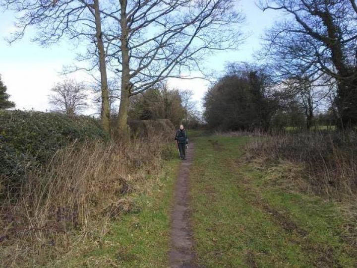
The 'saltway' on the Staffordshire Way between Alton and Denstone, which forms part of the Staffordshire Way
The course of a trackway shown on Ordnance Survey mapping of 1838 and named as Saltersford Lane. The trackway is suggested to be a salt or packhorse way.
The ‘saltways’ were used to transport salt across the country and are believed to date back to pre-conquest times. Saltersford Lane was thought to have linked Cheadle with Nantwhich, Newcastle and Derby.
PRN number:
04839 - ST4422
This location can be seen on the following trails:


